Working out where you are at sea has always been a challenge, especially when sailing out of sight of land.
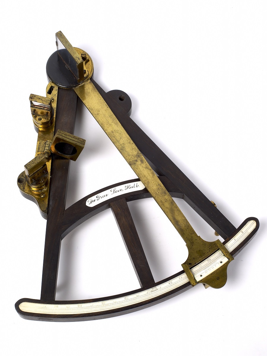
Navigation developed to overcome this in various ways. ‘North’ could be established by the Pole Star and later with compasses. Latitude could be calculated with instruments, such as a sextant or octant, but needed sight of the sun or stars.
Knowing your longitude was more difficult and required an accurate timepiece, keeping Greenwich Mean Time (GMT) back in the UK to compare with local time. This was only resolved when John Harrison, of Barrow-on-Humber perfected his H4 chronometer in 1761.
The H4 chronometer was awarded the title of the most accurate clock in the world, after being tested on the Humber. The chronometer was set to ‘home time’ which once at sea, was compared to ‘local time’ and an accurate current shipping position could be calculated.
Time Balls were positioned on high, prominent buildings so they could be seen from far away. A Time Ball dropping signalled the precise time to set a clock
to ‘home time’
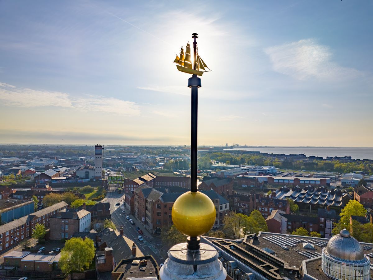
The Guildhall Time Ball is an example of this, commissioned in Hull due to its prominence as a shipping port in the early 1900s. It can be seen from around the city centre, including the original Queen's Dock.
This information is available in other languages below.